Geography 101: Wami River
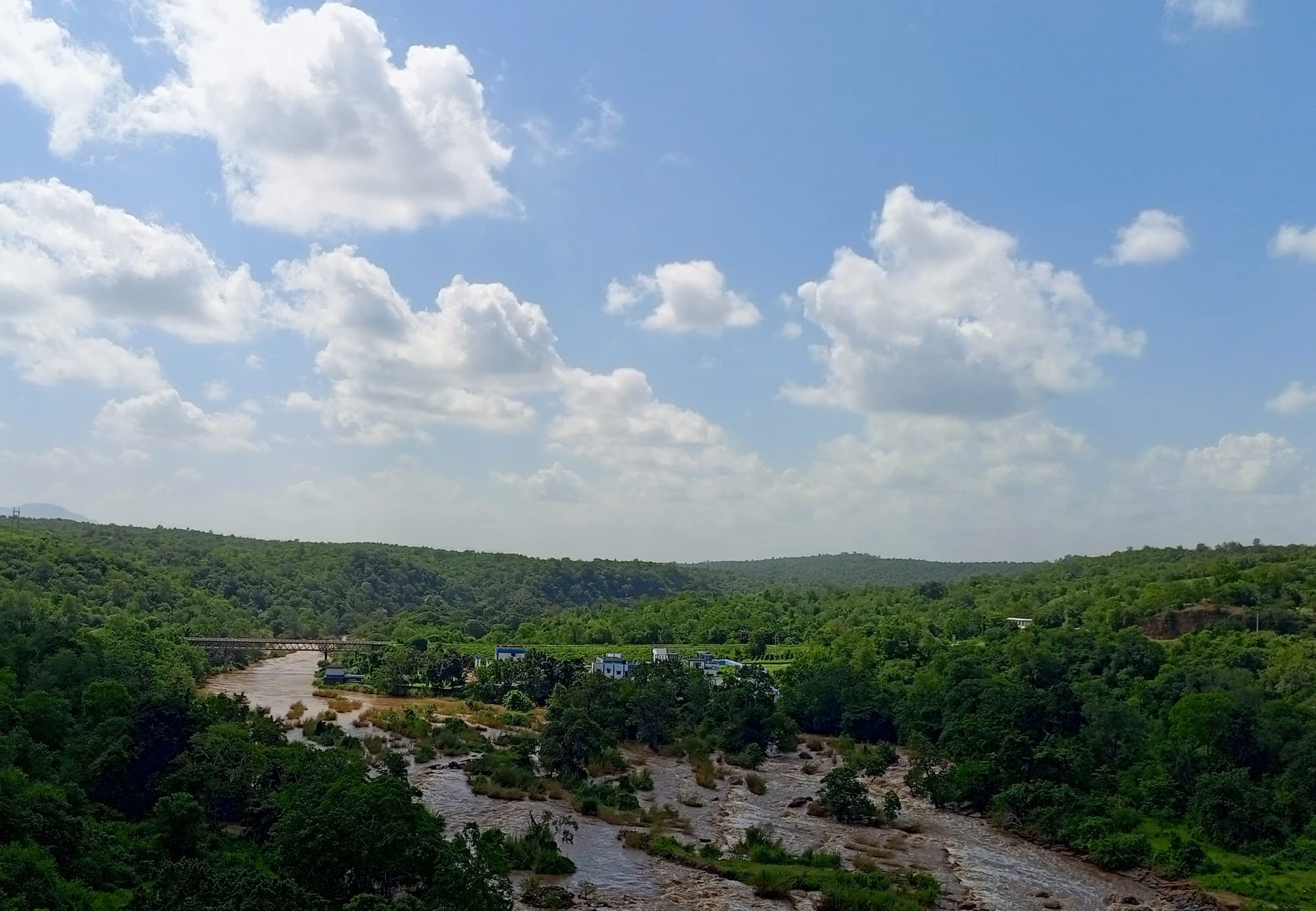
On my way to Bagamoyo, I was awestruck by the beauty of Wami River and its breathtaking escarpment. While crossing the bridge, I had a clear view of the river and the surrounding landscape.
Rivers are fascinating geographical features. Their rhythmic flow captures the essence of timeless beauty. Their meandering courses weave stories from the source to the mouth, and their banks are adorned with the tapestry of nature. That explains why water bodies attract tourists in pursuit of tranquility, myself included.
Wami River flows from the Eastern Arch Mountains found in Morogoro Region, Tanzania. The Eastern Arch Range obstructs moist winds from the Indian Ocean. As a result, the chain receives more rainfall than the surrounding lowlands. With a drainage basin covering 43,946 km2, the river snakes through Pwani Region all the way to the ocean. Its 490-km course supports biodiversity.
Several tributaries contribute to Wami River's discharge rate of 60.6 m3 per second. These include Mikundi River, Msoweri River and Mkota River. As the flow slows down towards the relatively flatter coastal plains, it forms the southern border of Saadani National Park.
Wami is part of an extensive network of rivers embellishing the surface of Tanzania. These arteries provide water for domestic, agricultural and industrial use. In the energy sector, rivers are contributing significantly to the generation of electricity. Furthermore, the magical streams of life sustain biodiversity in the vast ecosystem.